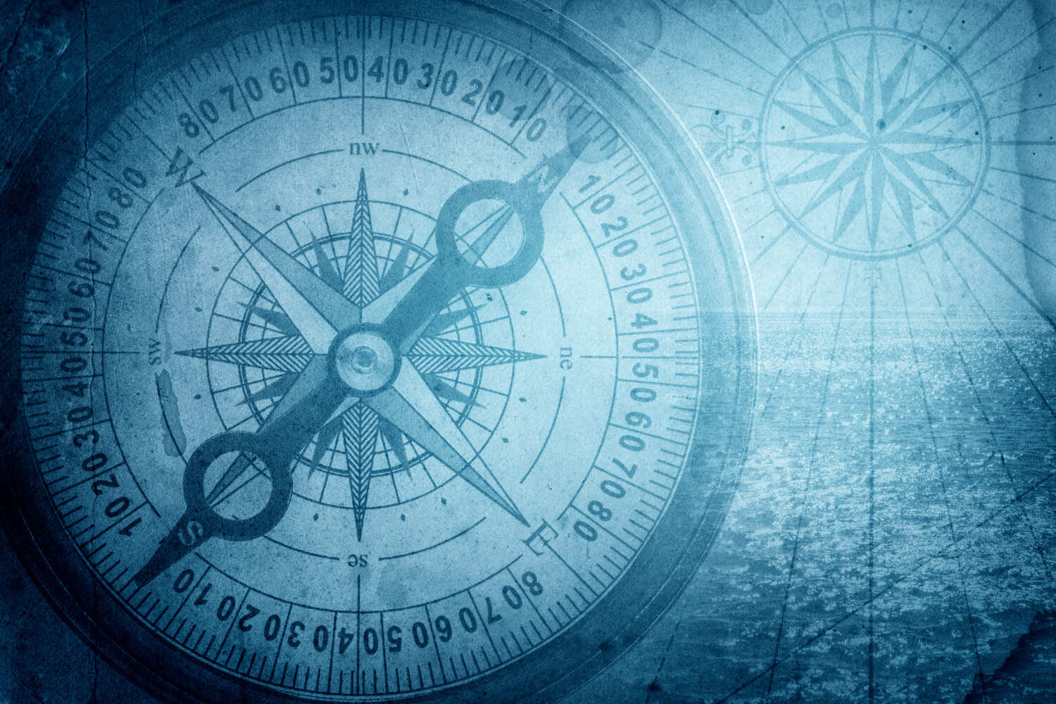
The longitude problem haunted sailors for centuries. Without being able to establish longitude, captains of ships were going off something they called “dead reckoning”, which essentially meant they were guessing, steering the ship with their gut, and ships were forced to stick to the few safe routes everyone knew. The history of longitude is a record of the effort, by astronomers, cartographers and navigators over the centuries, to discover a means of determining longitude.
The measurement of longitude is important to both cartography and navigation. In particular, for safe ocean navigation, knowledge of both latitude and longitude was required. Finding an accurate and reliable method of determining longitude took centuries of study, and involved some of the greatest scientific minds in human history.
On April 3, 1693, self-educated English carpenter and clockmaker John Harrison was born. Harrison invented the marine chronometer, a long-sought-after device for solving the problem of calculating longitude while at sea. However, it was not until toward the end of his life that he finally received recognition and a reward from the British Parliament.
“He wrested the world’s whereabouts from the stars, and locked the secret in a pocket watch”
― Dava Sobel, Longitude, [7]
Early Sea Clock Experiments
While latitude is relatively easy to determine with sufficient accuracy for seafaring, determination of longitude with similar accuracy is much more difficult. Prizes offered by Spain in 1598 and the Dutch Republic two years later stimulated the best scientific minds of the day to build better clocks for finding position at sea.
In 1714, the English Parliament had offered up to 20,000 pounds of prize money for a practicable solution to the length problem. The prize money was graduated according to the accuracy of the submitted method. It was not until a decade after the publication of
the prize money that John Harrison began to study this topic, which would accompany him until the end of his life. So far no practicable solutions had been found by means of astronomical navigation. The Board of Longitude had been set up to assess the proposals submitted and to administer the prize money. Well-known astronomers all over Europe tried to find astronomical solutions, especially the moon distance method, which determines the angular distance of the moon to bright fixed stars near its orbit. The astronomical solution was based on tables of star occultation, which at that time could be calculated with sufficient accuracy, but which presupposed the visibility of the moon and were complicated to apply. John Harrison, on the other hand, relied on sufficiently accurate clocks.
The challenge was enormous. At that time, no clock—on land or sea—could keep better time than within about 15 minutes a day. But after nearly two centuries, with the invention of the chronometer, accuracy at sea improved to about 1/5th of a second a day.
“One [method of finding longitude] is by a Watch to keep time exactly. But, by reason of the motion of the Ship, the Variation of Heat and Cold, Wet and Dry, and the Difference of Gravity at different Latitudes, such a watch hath not yet been made.”—Sir Isaac Newton, 1714
Measuring latitude, how far you are north or south of the equator, was not a problem in 1675. Longitude, the position east or west, was still not accurate but was theoretically possible to measure in terms of time.
We knew in the 17th century that the earth turns 360° every day or 15° every hour. So if you travelled 15° eastward, the local time moves one hour ahead and similarly, travelling West, the local time moves back one hour. The imaginary lines drawn on a globe representing each 15° are called the meridian lines. Therefore, using the meridian lines you could see how far you have travelled east or west.
For example, if it was noon where you were and you knew it to be 9am in Greenwich (0°) you would have sailed west for 3 hours and you would be at longitude 45°.
You know from using a compass if you have travelled east or west but knowing the exact time back in Greenwich was the problem. Getting a clock to work accurately at sea was very difficult – just a few seconds too fast or too slow could result in the ship ending up miles off course.
John Harrison, a working class clock maker form Yorkshire, solved the problem of longitude by inventing a timepiece that could tell the right time at sea. Harrison had built his first pendulum clock with a wooden wheel movement in 1713 and was later the first significant invention to compensate for the temperature dependence of pendulums: A grid consisting of two types of metal rods with different thermal expansion (steel and brass) prevented the total length of the pendulum from changing with temperature fluctuations. He had achieved a low-friction running of his
grandfather clocks with his grasshopper escapement, lubrication-free wooden gears avoided deviations due to resinous oil. Checks by measuring star passages proved the reduction of previous inaccuracies to less than a tenth. He then wanted to design similarly accurate clocks for ships: he presented his concept in 1728 and his first model in 1735. He compensated temperature fluctuations by bimetallic ship movements by connecting two identical pendulums (in the first draft) with a spring. At the beginning of the voyage, the chronometer was set to the solar time of the known longitude, the Greenwich meridian. From the time difference between the displayed time and the local time (determined by bearing the sun or stars), the geographic longitude could be calculated with sufficient accuracy – assuming a time that was approximately to the second.
His chronometer, H4, built in 1759 after years of experimentation, was the first marine timekeeper accurate enough to be used with confidence. H4 eventually won John Harrison the Longitude prize from the British Government. Only when James Cook [2] returned home from his second voyage around the world on 30 July 1775 and confirmed the quality of K1, Kendall’s exact copy of H4, was most astronomers considered the length problem to have been solved.
Prime Meridian Line
The other problem was noon for one part of the world was not noon for another.
We needed to have a prime meridian from where all longitude could be calculated. In 1884 a conference in Washington of 25 nations agreed that Greenwich would be the world’s Prime Meridian of world time and time zones.
Every place on the Earth is measured in terms of its distance east or west from this line. The line itself divides the eastern and western hemispheres of the Earth – just as the Equator divides the northern and southern hemispheres.
Up until 1884 a majority of the world used Greenwich to set their clocks by. Although it did not influence the decision it seemed a fitting tribute to the hard work of John Flamstead and the Royal Observatory.
Visitors to the Observatory can stand in both the eastern and western hemispheres simultaneously by placing their feet either side of the Prime Meridian.
Time and GMT
Two regulator clocks, built by Thomas Tompion, were used in 1676 by John Flamstead to chart the position of the stars.
One of these clocks can be seen today at the Observatory along with John Harrison’s clocks. Scientific clocks were later used and the Observatory became a testing centre for new timepieces.
‘Greenwich Time’ was used by ships in London”s docks from 1833. They would look at Flamstead House where a time-ball would drop at 1pm and then set their own chronometres by it.
Later the railways and the electric telegraph would also use Greenwich Time. Time signals would be transmitted by telegraph in August 1852 using the new Shepherd electric clock.
This 24 hour public clock still works today and can be seen set in the outside wall.
The Greenwich Meridian (Prime Meridian or Longitude 0°) marks the starting point of every time zone in the World. GMT stands for Greenwich Mean (or Meridian) Time and is the average time that the earth takes to rotate from noon-to-noon. It is an average because at certain times of the year the Earth's orbit around the Sun is not perfectly circular.
SOURCES:
https://timeandnavigation.si.edu
https://geographyfieldwork.com
https://www.rmg.co.uk
